After successfully following the Bike Dreams GPS track for our first day of riding to the Equator, I tried following the one for the second day – where we will ride about 100 km out of Quito and along the Pan-American Highway south to Latacunga. I was only going to do the first 25 or 30 km and then return. But I made a big mistake. Even though it was a Saturday, traffic is insane in late morning. Leaving the hotel at 10:15 am was not a good move. There are bike lanes for the first few km in town, then the descent a few more km was ok since I was going at traffic speed. Then I got to a crazy multi-way intersection and figured out which way onto the road out of town. But it was solid lanes of nearly stopped vehicles. I saw that the bike lane was zero cm wide. Giant trucks and buses and cars, inches from the edge, not moving or going 1 km/hr, horrible air, and uphill for a long time. So I bailed. It was tough even reversing what I had ridden due to the crazy one-way roads. I rode a bit more around town and then called it a day. Not even 20 km done but a good lesson learned: leave earlier!
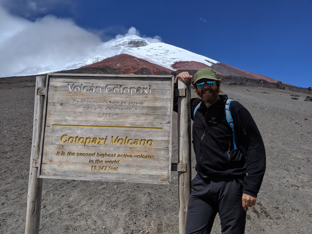
That evening I went out to dinner with Elke from Germany who had just arrived at the hotel. She mentioned she was going on a tour to Cotopaxi that sounded great: both hiking and mountain biking. Cotopaxi is the second highest active volcano in the world and is 5,900m tall. So I booked that for the next morning.
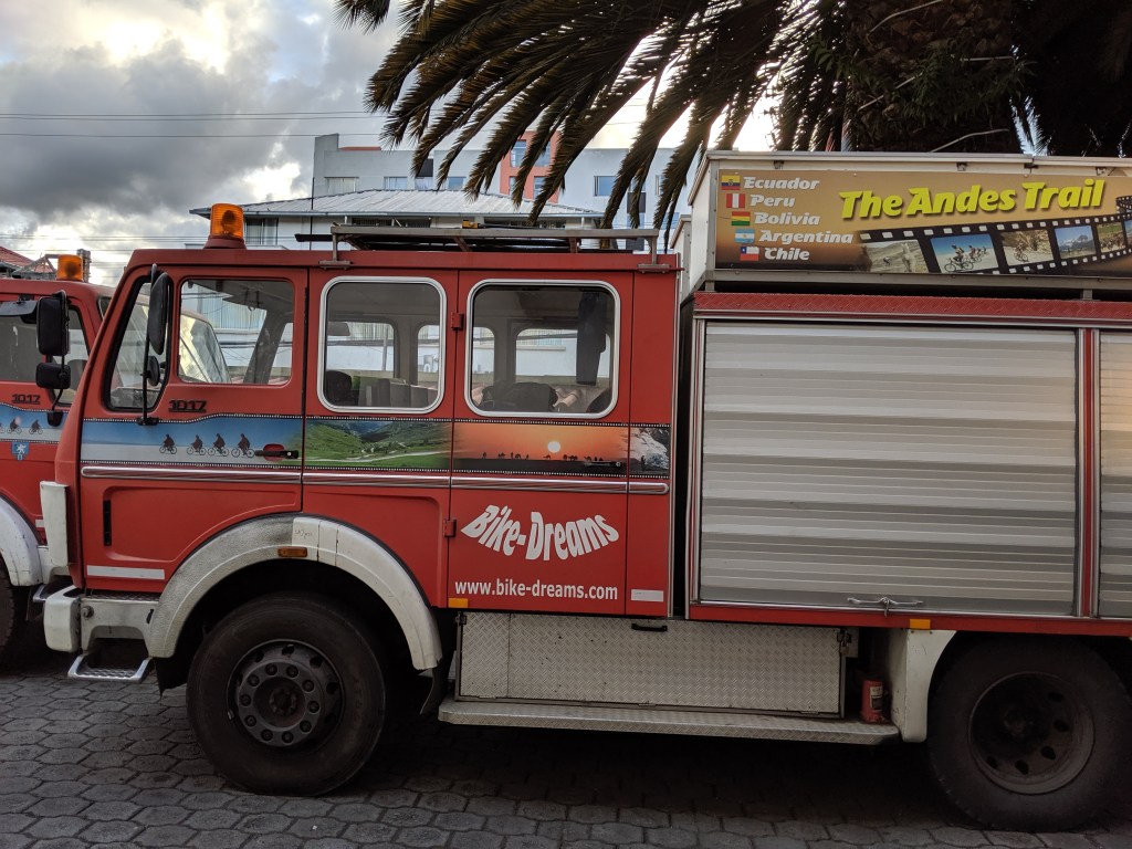
Sunday started with a 5:50 am wake-up call from the tour company to make sure I was coming and would be on time. The meeting place was close by. 19 of us from all over the world drove in a bus, on the route I had tried to navigate the day before. Early in the morning it looked much more doable although some sections are very narrow and scary. We’ll ride in a group and it will be ok. At least the pavement quality looked really good.
We drove about 60 km of the 100 km we will do next Saturday and it was great to get a preview. We stopped for breakfast at a little place in the country, and soon got to the National Park Entrance. From the entrance, the road climbs 1,400m to an incredible 4,600m (over 15,000′). The views of the mountain were awesome and as we climbed we saw a number of tough guys riding up on mountain bikes.
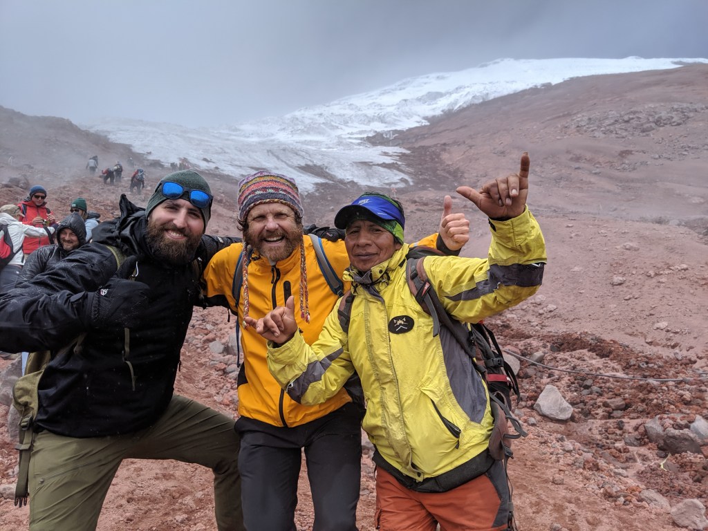
The last part of the road was not driveable in the bus so we started hiking under 4,600m. We could really feel the altitude but hiked slowly, stopping quite a few times and after 45 minutes got to the José F. Ribas Refuge at 4,864m. This is a modern big mountain hut and tons of people were there. Climbers stay here too but it was mostly tourists like us.
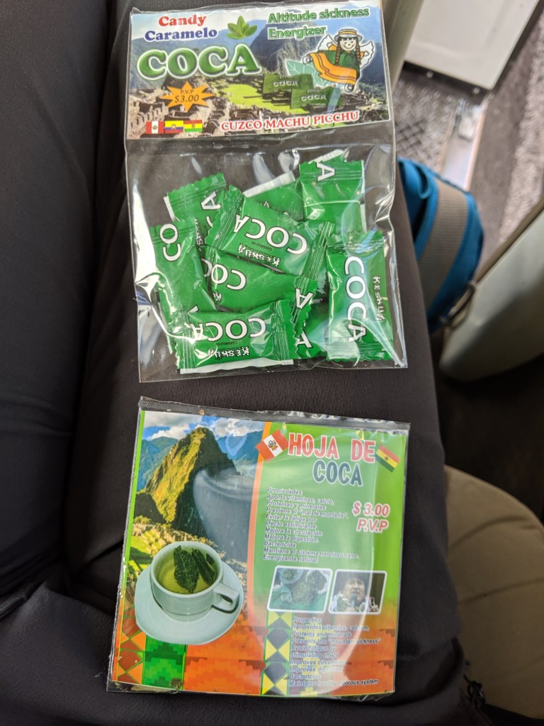
Maybe half the people opted to stay at the Refuge but the rest of us went up another 45 minutes until my GPS said we were over 5,000m. We hiked to the point, just below the glacier, where the angle increases and it’s not really tourist hiking friendly any more. 5,030m = 16,500′. By now the clouds had come in so the view was intermittent but everyone was feeling good and it was really fun. I felt so strong – I was surprised. Maybe it was due to the Coca candy I had bought down below? I had a couple of them on the hike. Or the Coca tea I had at breakfast? Too bad there’s no way to tell.
After photos, we went down, and we were getting quite wet from being in the blowing clouds. The rest had already gone down and we all met at the bus, dripping wet. No one except me wanted to ride from there so we drove down a bit to 4,365m and a few of us got on mountain bikes and rode down about 9 km to the Lagoon – Laguna de Limpiopung at 3,850m. The bikes were really crap – nobody could shift, seats wobbled, but my brakes worked at least and no one got a flat. The road was rocky and sandy and bumpy but we had a great time and I was sorry it was over. Downhill all the way with a strong tailwind! Awesome.
We looked at the lagoon, packed up, and drove back to Quito, stopping at the same restaurant for a very welcome lunch after 3 pm. It was exactly 12 hours from my wake-up call to returning to the hotel. All in all I would highly recommend this tour – certainly value for money spent is very high. Plus the people on the tour were really great.
The next day I decided to hike instead of bike, and took a taxi around 9:30 up to the TeleferiQo where I had been a week earlier. The difference was that there were no clouds in the sky! A couple of people said it was the best day in five months – clouds are very much the norm in Quito. The view riding up to 3,950m in the gondola was just awesome. Not only Cotopaxi but the other snow-covered volcanoes were visible, even Chimborazo, 6,263m.
My goal was the summit of Rucu Pichincha, 4,696m / 15,100′. I started hiking at 10:30. The signs say it’s four hours to the top but that’s conservative. It’s 5 km each way, climbing a bit over 700m. I felt strong and went fast until 4,500m, then the altitude got me and I slowed down for the last part. It’s steep and climbing up the rocks at the end, but it’s been done so many times that all the loose rocks are gone and it’s quite easy. But you have to be careful. I finally made it up around 12:30, two hours from the TeleferiQo. The wind was picking up and some clouds were coming in but the view was still great – this is really an amazing area and this has to be one of the best places to see it from.
The hike down was much easier but I was still feeling the altitude even at the bottom. Maybe I just didn’t eat enough, or? Then I realized I didn’t have any Coca candy – maybe that was it. I had a snack at the cafe then waited in line about 20 minutes for the gondola and took a taxi back. I went out to dinner with three of our trip members which was fun. By coincidence, two of them had been on the same boat as me in the Galapagos and had also booked the same cruise to Antarctica from December 21-January 3. After all that hiking I went to bed early, around 10 pm, and slept a full eight hours.

Photos from Cotopaxi hiking and biking
Photos from Rucu Pichincha hike

Hoja de Coca baffled the spellchecker at first but it sounds more powerful than Hoja de Café Real that I have been experiencing on another great morning in Ruby Valley. Keep it up on the writing. Sounds like a good trip!
Love and Hugs from Carol and me, DSAN RVNVUSA
>
LikeLike
Don’t underestimate the power of these Coca leaves. I think they do their thing. I found them useful on the Salkantai trail in Peru. Keep it up, buddy. Soon the party starts.
LikeLike
Beautiful write-up, Nathan! Love you : )
LikeLike