Andes Trail Stage 4 of 109 Riobamba to Alausi, day 7 of 142
89 km, 1,537m, 4:23, max 93.0 kph
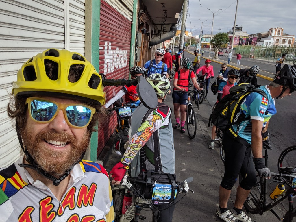
We started off as usual at 8 am after a good breakfast. It was partly cloudy and warm enough to ride with just shorts and short sleeves. This stage started with flat and rolling for a while so I was warmed up before the hills came. Our maps said that there would be over 2,100m of climbing, so we were all ready for a harder day. The first climb was over 500m, about km 6-20 but it was pretty mellow and the road was uncrowded and much more rural and pleasant than the previous days. It felt like we were finally out in the country.
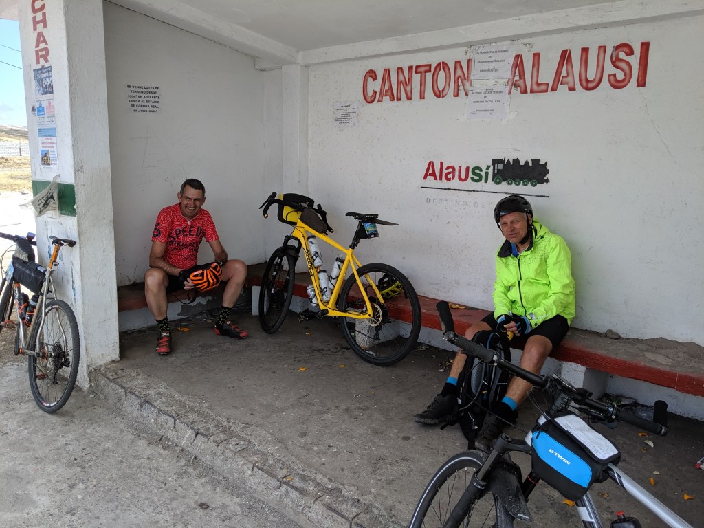
Then a nice fast 80 kph descent and the long climb of the day started around 30 km. A number of people got dropped off here to do a shorter day. This was a long climb, almost 40 km, but mostly gentle, with some flat and small downhills mixed in. We pulled over for lunch just before 50, the usual, except I had two power burritos plus a sandwich in anticipation of the remaining 1,300+m of climbing. Again I let the fast guys disappear and ended up on the summit around 3,400m with Andrew and Jan. There was a pretty strong tailwind (sometimes sidewind) for this part. We stopped in a bus stop in the somewhat desolate little “town” for food and a seat adjustment for me.
Then the big descent to Alausi! The first half was great, pretty decent pavement, going over 90 kph for a good bit. One scary time was when a large dog came running out into the highway right at me, but I was gone so fast he had no time to attack. Then there was a last 200m climb, the steepest so far, and I learned that the Edge 530 has a gradient steeper than red: purple. The tailwind pushed pieces of trash up the road faster than I could ride! The riding was really scenic – now we’re finally in the Andes.
The second half was steeper and the road wasn’t quite as good and the wind got squirrely due to the canyons and rocks we were riding by. The road snaked down and then a big turn into Alausi. It was a little confusing but finally Jan and Lambert and I got to the end of the GPS track, nowhere near downtown, with no sign of a hotel or the trucks. I pulled out my phone and put “Hotel Europa” into OpenStreetMaps and voila, one block over, four blocks down, one block over. This gave us the confidence to commit to going down. Apps like OsmAnd (OpenStreetMaps) or Maps.me really make navigating easier.
We pulled into the hotel around 1:45 which had been billed as a very basic hostal (“you’ll get a bed, shower and anything else is a bonus”) but in reality was really quite nice. Andrew and I got a room with a shower, even nicer than the day before. The internet worked and soon soup and bread was on. No one minded skipping out on 600m of climbing for the day!
The downtown part of town looked really great so we went out for beers. But first we spied a giant statue on the hill nearby. We voted and the group decided to climb up first, beers later. Martin was the dissenter. 185 steps later we were up at the San Pedro de Alausi Mirador, a beautiful viewpoint. The city is surrounded by mountains in all directions. It was sunny and gorgeous and we talked to the guys flying their kite with about 1,000m of string out. They kept having panics when the wind dropped and the kite looked like it would crash on the other side of town.
Then it was time for beers and we found the regular plus artisanal at a friendly sidewalk cafe. The sun set early so we walked back and on the way went into a restaurant for an early dinner. There were five then seven of us and I guess it took about two hours even though we were the only customers. But the food was pretty good and we really had a great time. After that we read for a while and settled down without setting the alarm. Half day tomorrow means breakfast an hour later at 8 am!


So glad the dog didn’t get a chance to attach! Fun reading about your bike adventures!
LikeLike